Gyeonggi's climate satellite
is already in orbit

On 29 November 2025, Gyeonggi Climate Satellite No.1 was launched successfully.
From space it records the changes across Gyeonggi-do, for us and for the future.

NEXT PASS · until the next overpass
--:--:--
Next pass: calculating... · altitude approx. 500 km
Tracking orbit in real time
GYEONGGISAT-1 · LIVE
GYEONGGISat-1 live position · SGP4 orbit calculation (Celestrak TLE)
SCROLL
WHY — Why a climate satellite

Gyeonggi-do needed
a climate satellite of its own

01

Responding to the climate crisis
required scientific data

Acting ahead of the climate crisis and shaping policy for residents calls for decisions based on scientific data, not on forecasts or intuition. Gyeonggi-do therefore introduced its own small satellites to put data-driven administration into practice on the basis of accurate observation.

Infographic on scientific data collected by the satellite
02

Observing even invisible methane and leading global climate cooperation

Methane is a greenhouse gas with a warming potential dozens of times higher than carbon dioxide. With the first independent observation system run by a local government, Gyeonggi-do tracks and measures methane sources precisely and helps lead the global climate response.
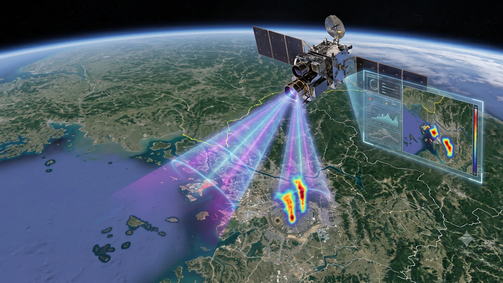
Infographic on methane source observation by the satellite
03

Opening climate data to grow an innovative climate-tech ecosystem

Climate data is a public asset that everyone should share.
Gyeonggi-do opens its data for free use and supports the growth of climate tech and future industries.
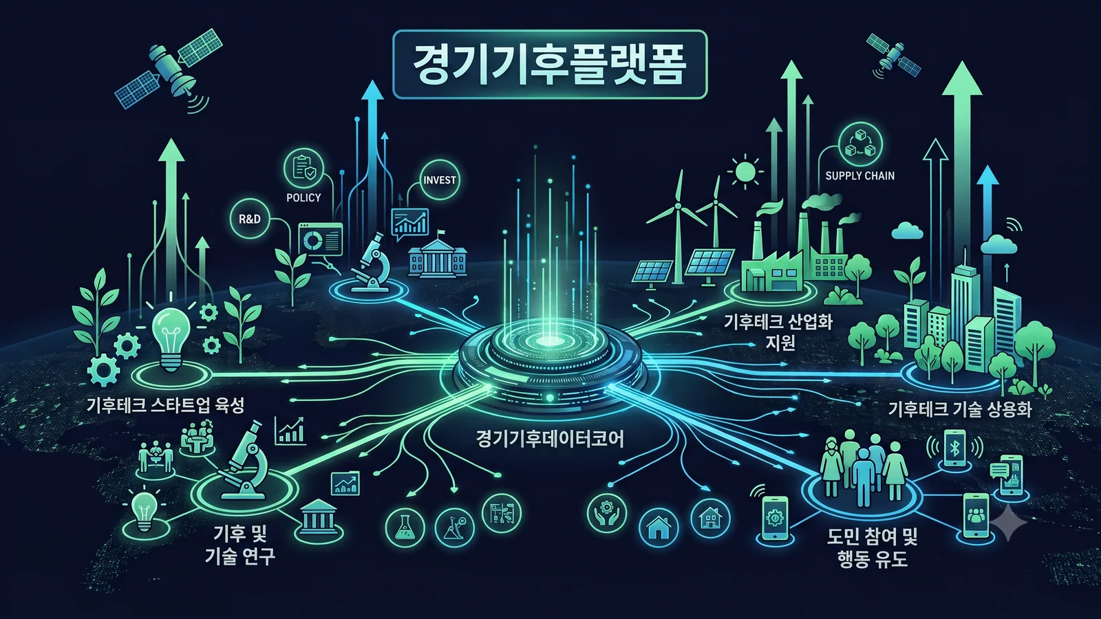
Infographic on open climate data and the climate-tech ecosystem
GYEONGGISAT — Three climate satellites

Three eyes
watching over Gyeonggi-do

Three satellites in total — one optical satellite and two greenhouse gas observation satellites, each operating on its own mission for three years.
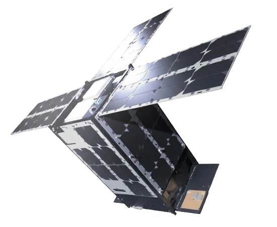
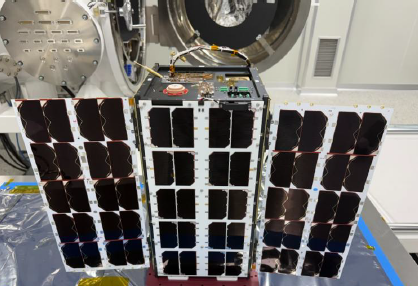
Gyeonggi Climate Satellite No.1 (optical) In operation
Optical observation · launched 29 Nov 2025

No.1 (Optical)

The high-resolution satellite that sees Gyeonggi-do most clearly

Spatial resolution1.5 m
Swath width14 × 40 km
OrbitSun-synchronous
CoverageAll of Gyeonggi-do
A resolution of 1.5 m is fine enough to tell one car apart on a road.
Prototype of Gyeonggi Climate Satellite No.2 In operation
Greenhouse gas observation · launched Oct 2, 2026

No.2 (Greenhouse gas observation)

A greenhouse gas satellite that detects methane emissions precisely

Spatial resolution25 m
Swath width10.5 × 10.5 km
Methane detection100 kg/h and above
CoverageIndustrial complexes, power plants and more
It can even find methane leaks that are invisible to the eye.
No.3 (same series as No.2, to be built)
In preparation
Greenhouse gas observation · to be built

No.3 (Greenhouse gas observation)

A follow-on satellite that forms a constellation with No.2 to shorten the revisit time

Spatial resolution25 m
Swath width10.5 × 10.5 km
Methane detection100 kg/h and above
CoverageIndustrial complexes, power plants and more
When the two satellites fly together, the same place
can be seen more often and in finer detail.
BY THE NUMBERS

Gyeonggi Climate Satellite in numbers

0satellites
1 optical · 2 greenhouse gas
0m
Spatial resolution (optical)
01+ per day
Passes over Gyeonggi-do (3 satellites)
0hours
From imaging request to delivery
MISSIONS — What the satellites do

What a climate satellite does
goes much further

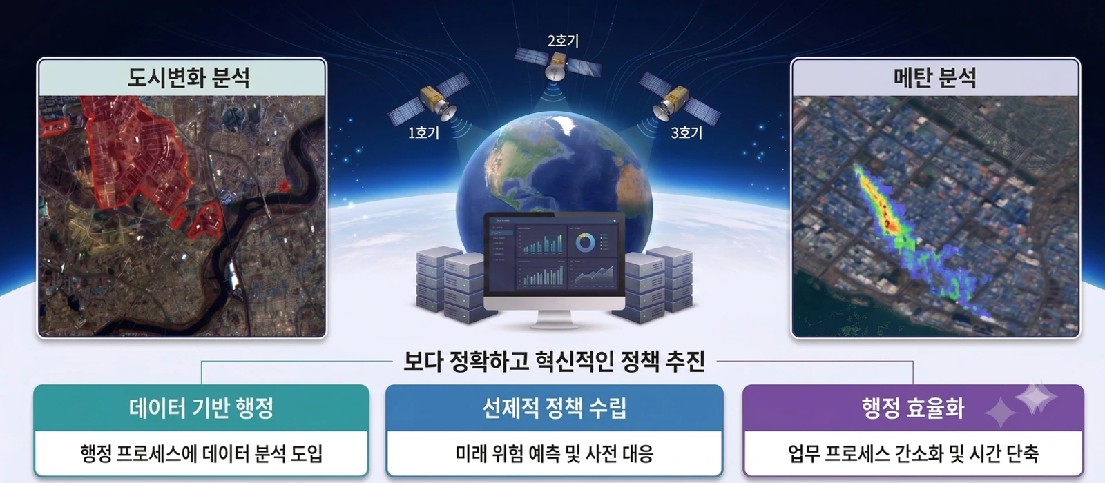
Disasters, methane, urban change, policy — the uses of the Gyeonggi Climate Satellite keep growing.
Here are five of the main ones.
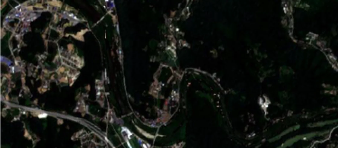
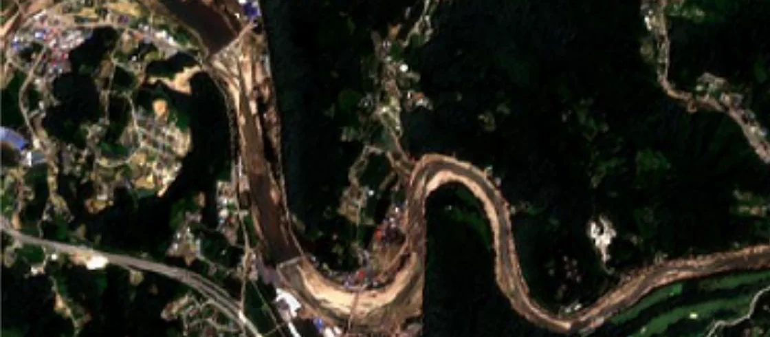
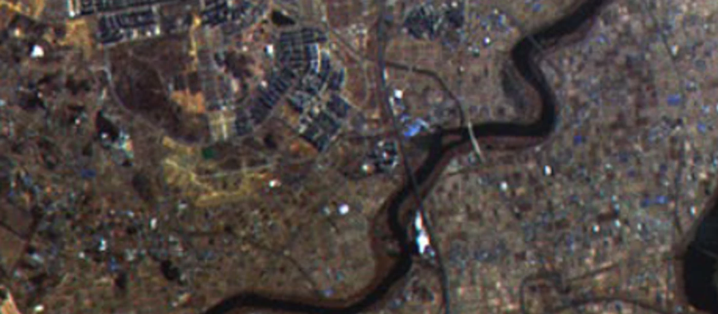
Satellite image of the Jojeong stream at Daebo-ri and Hangsa-ri before the downpourBefore the downpour
Satellite image of the Jojeong stream at Daebo-ri and Hangsa-ri after the downpourAfter the downpour
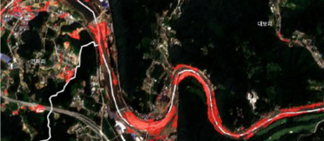
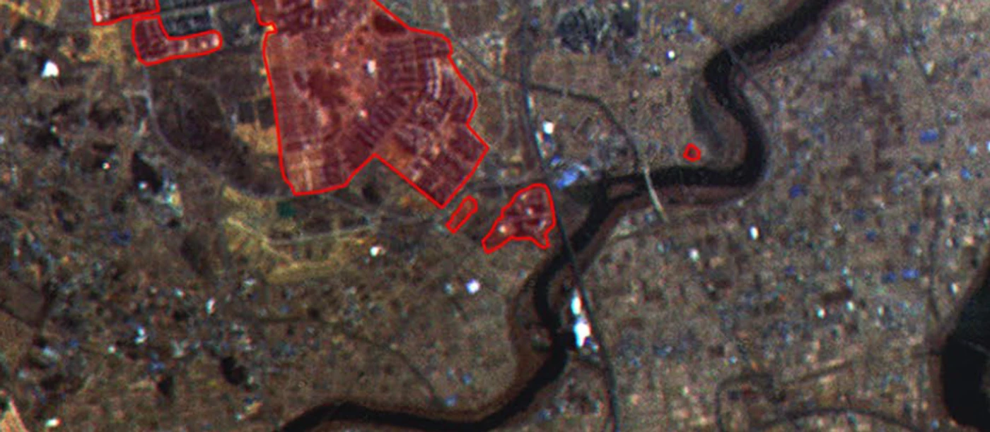
Deep learning based change detection resultAI change detection result

Rapid support when climate disasters strike

When a wildfire, landslide or flood occurs in Gyeonggi-do, the area is imaged and the damage is assessed quickly with AI deep learning. Damage is detected within a short time after the event, areas that are hard or dangerous to reach are observed safely, and before-and-after damage is compared with objective, transparent data.

Rapid analysisWide-area monitoringSetting recovery prioritiesTracking recovery progress
Satellite image of the Jojeong stream at Daebo-ri and Hangsa-ri before the downpourBefore the downpour
Satellite image of the Jojeong stream at Daebo-ri and Hangsa-ri after the downpourAfter the downpour
Deep learning based change detection resultAI change detection result

Rapid support when climate disasters strike

When a wildfire, landslide or flood occurs, the area is imaged and the damage is assessed with AI deep learning within hours. Even hazardous areas are observed safely, and before-and-after damage is compared to provide objective data.

Rapid analysisTracking recovery progress
GALLERY — Imaging records

Earth and Gyeonggi-do as seen by the satellite

Imagery for calibration and validation
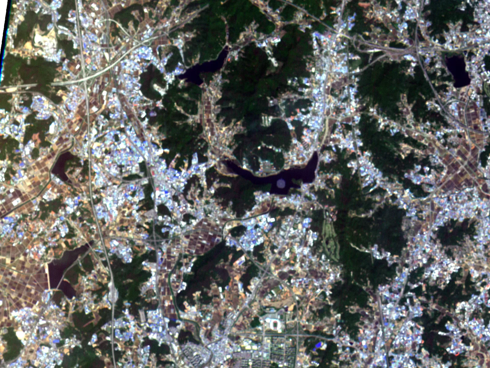
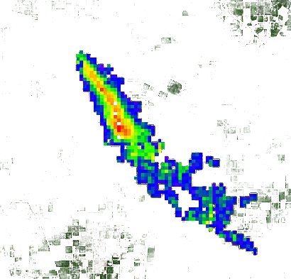
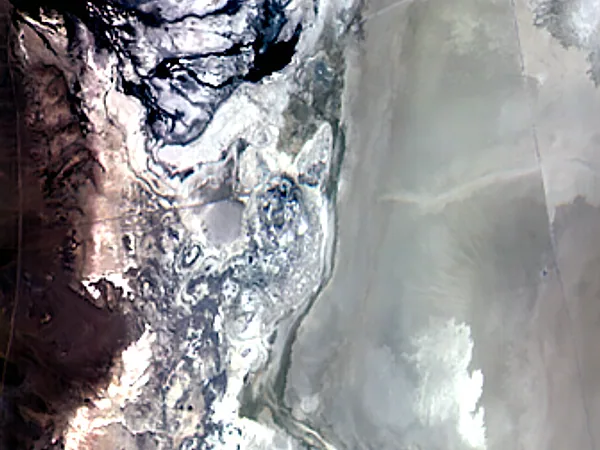
Satellite imaging of Railroad Valley, Nevada, USA
Railroad Valley, Nevada, USA
2026.06.06
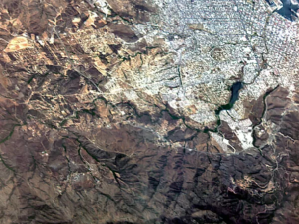
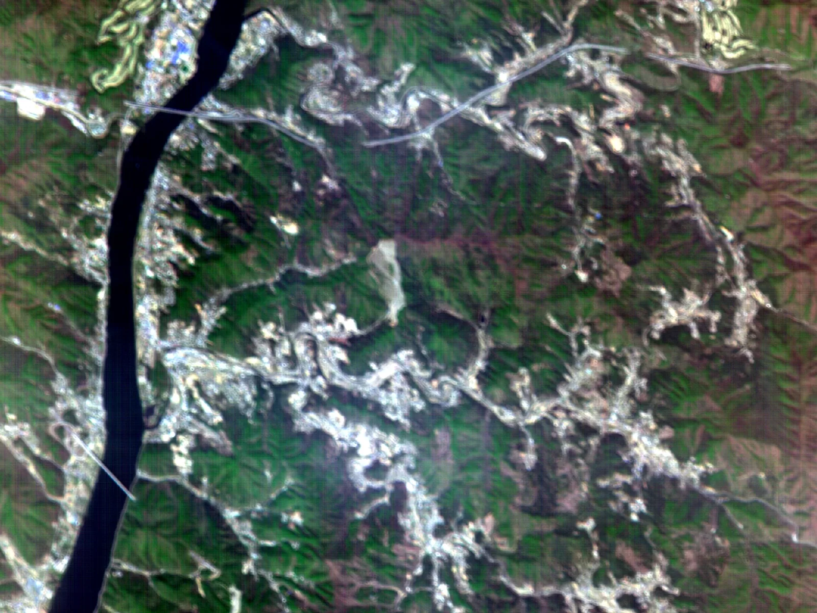
Satellite imaging of Ensenada, Mexico
Ensenada, Mexico
2026.05.31
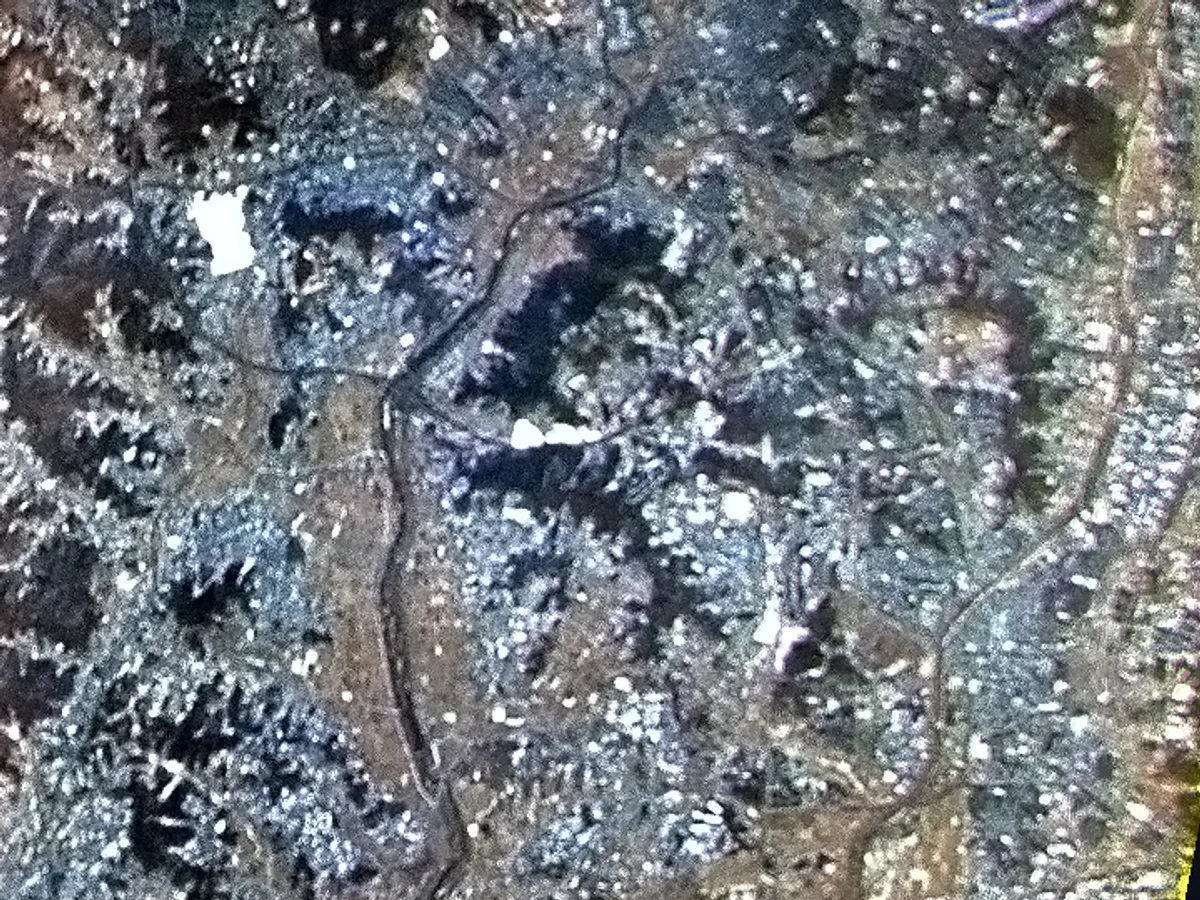
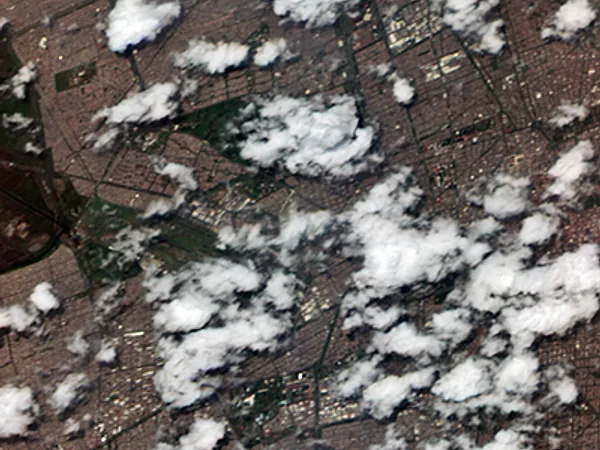
Satellite imaging of Mexico City, Mexico
Mexico City, Mexico
2026.06.13
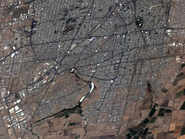
Satellite imaging of Mexicali, Mexico
Mexicali, Mexico
2026.06.16
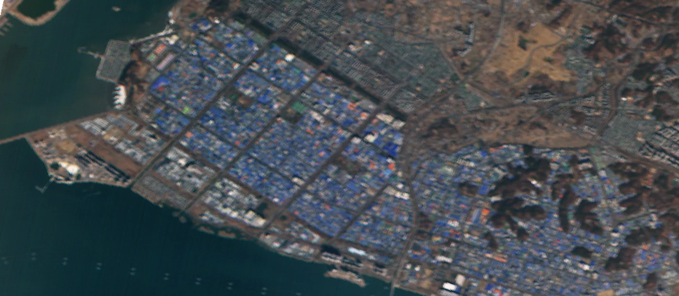
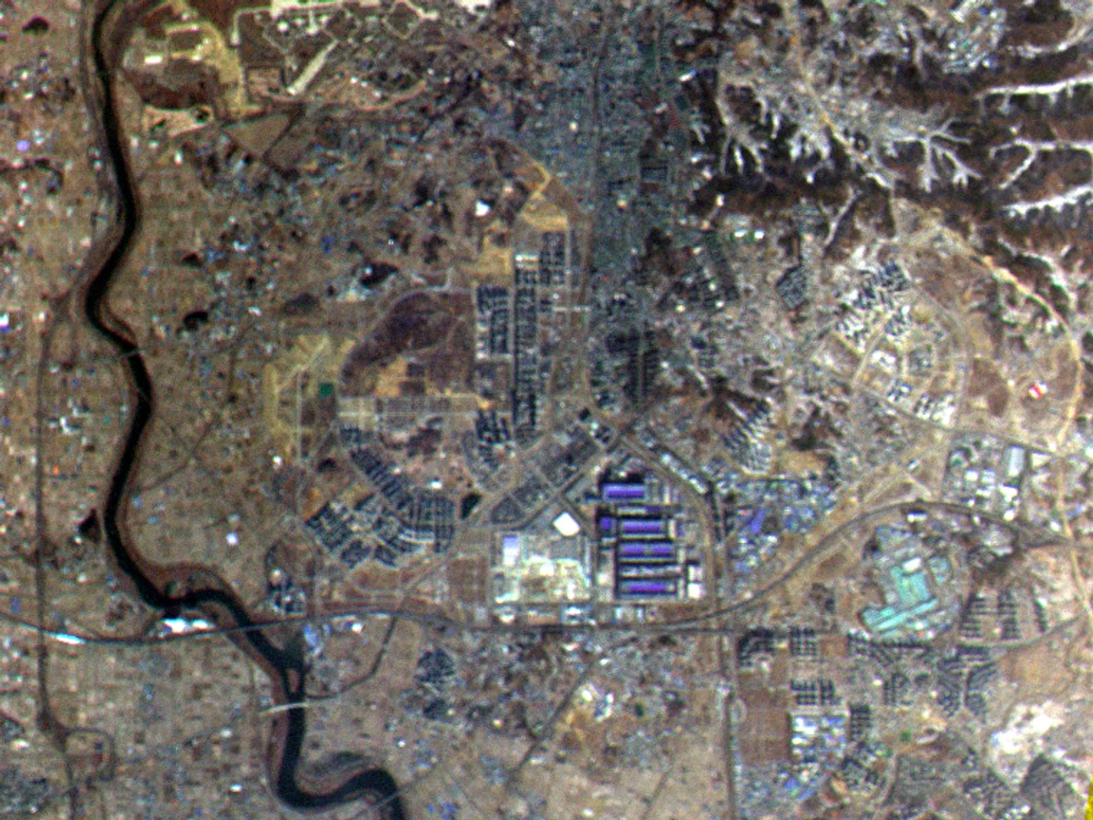
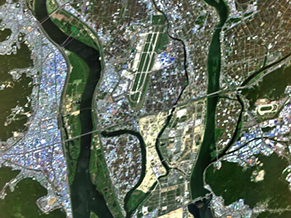
Satellite imaging of Gimhae, Republic of Korea
Gimhae, Republic of Korea
2026.06.12
Satellite imaging of Railroad Valley, Nevada, USA
Railroad Valley, Nevada, USA
2026.06.06
Satellite imaging of Ensenada, Mexico
Ensenada, Mexico
2026.05.31
Satellite imaging of Mexico City, Mexico
Mexico City, Mexico
2026.06.13
Satellite imaging of Mexicali, Mexico
Mexicali, Mexico
2026.06.16
Satellite imaging of Gimhae, Republic of Korea
Gimhae, Republic of Korea
2026.06.12
Satellite imagery will be released on the Gyeonggi Climate Platform in stages from July 2026.
The satellite imagery download service is scheduled to open in the second half of 2026.
JOURNEY — The road so far

Gyeonggi-do's journey to space
has already begun

2024.10
Master plan for the Gyeonggi Climate Satellite established
2025.04
Project launched
Gyeonggi-do × Nara Space Technology × SNU R&DB Foundation
2025.06
The names of 500 residents engraved on the satellite
2025.11.29
No.1 launched successfully
Launched on a Falcon 9 from Vandenberg Space Force Base, California, USA. Contact was established within an hour of orbit insertion.
2026.07
No.1 calibration completed · satellite service opened on the climate platform
Aug 2026 (planned)
Resident event for No.3
Name engraving planned
Oct 2, 2026
No.2 (greenhouse gas) launched successfully
Launched at 03:32 KST on Oct 2, 2026 aboard a SpaceX Falcon 9 rocket from Vandenberg Space Force Base, California, USA.
Contact was established at 04:27.
Second half of 2026 (planned)
Satellite data service opens
Details will be announced once confirmed.
First half of 2027 (planned)
Launch of No.3

※ The schedule above may change.

WITH CITIZENS — Together with residents

Going to space together with residents

Gyeonggi Climate Satellite resident boarding pass (e-ticket)

500 names engraved on the satellite

Wishing for carbon neutrality (0) by 2050,
the names of 500 residents were engraved on satellite No.1
and carried into space.

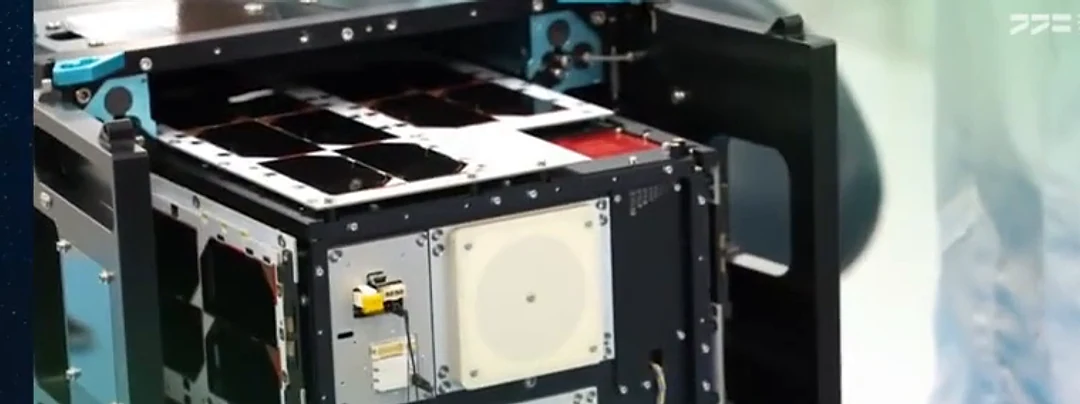
Development and assembly site of the Gyeonggi Climate Satellite

Site visit to the satellite development facility

Resident climate heroes joined us
to see where the satellite was being built.

Launch moment of Gyeonggi Climate Satellite No.1 · Falcon 9 launch pad

The launch moment, watched by residents

A live broadcast and a ceremony let residents share the moment No.1 headed for space.

챗봇